Planning the General Crook Loop Trail Hike
The research:
http://web.utah.edu/thorne/gps/Joe_Domin_Cabin_Loop_SuperGuide.pdf
http://www.sharlot.org/library-archives/days-past/the-general-crook-military-road-explored-apache-territory-part-i/
http://www.sharlot.org/library-archives/days-past/the-ongoing-story-of-the-general-crook-military-road-part-ii/
The graphics: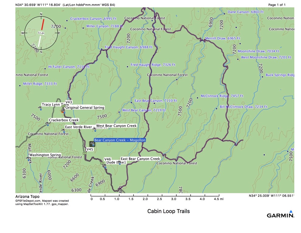
Here are the GPS tracks downloaded from the internet.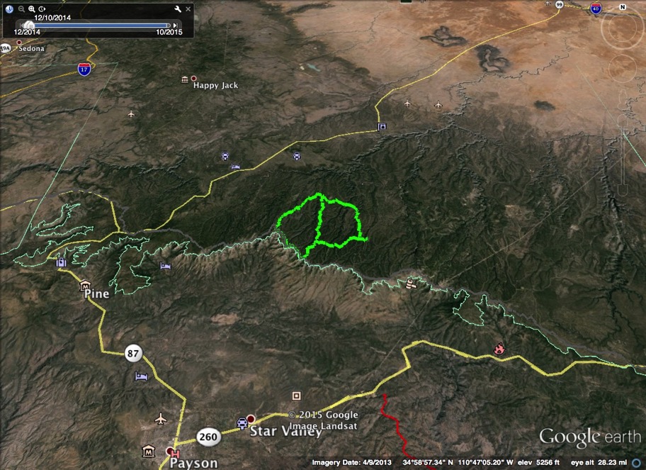
This Google Earth view shows the location of the target trails with respect to Payson and Pine.
One section of the proposed loop follows the old Rim Road, the trail built by General Crook to connect forts in the 1800s. This trail follows the rim from west to east, along the southern “rim” of the Colorado Plateau. The loops would make a two day hike, comprising about 30 miles of walking.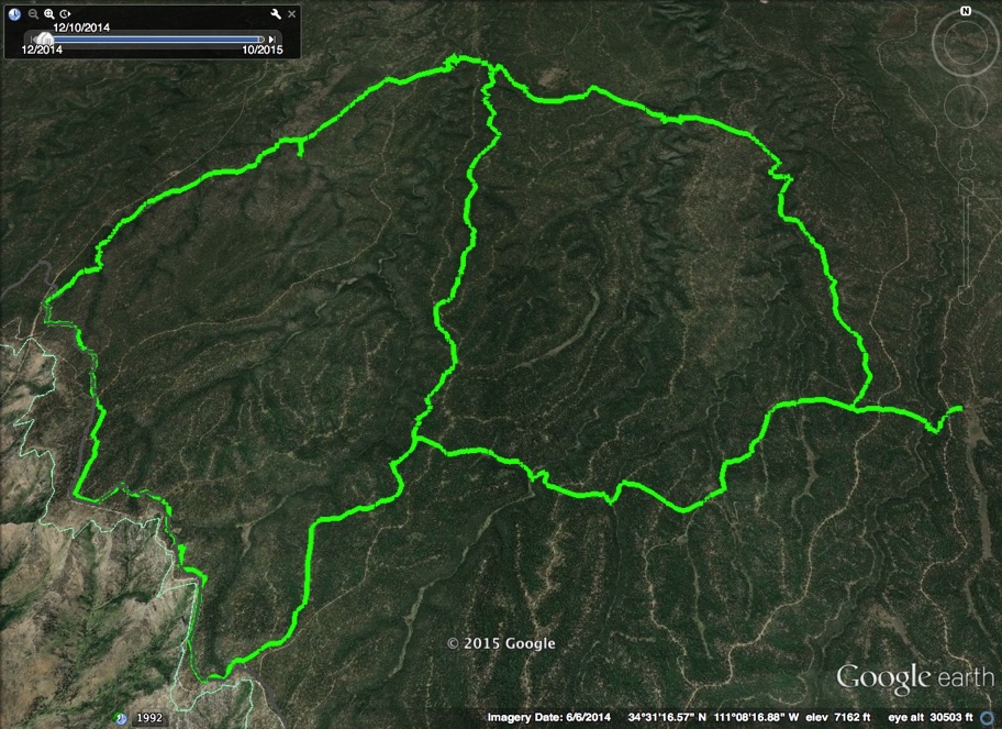
This Google Earth view blows things up for more detail.
Plan: Drive 3 hours from home to General Springs. Could go after work on a Friday.
Sleep in car or find a place to hang a hammock.
Hike 6.6 (~3 hours) miles NE on Fred Haught Trail. Take the 0.3 mile Haught Spur due South at Fred Haught Canyon. Hike due South on the Houston Trail, 7.5 miles (~4 hours).
Hike 4.5 miles (2 hours) NW back to car. Sleep there, or move car to the SE.