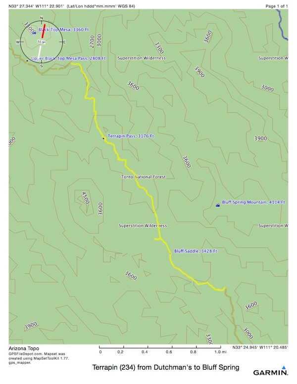
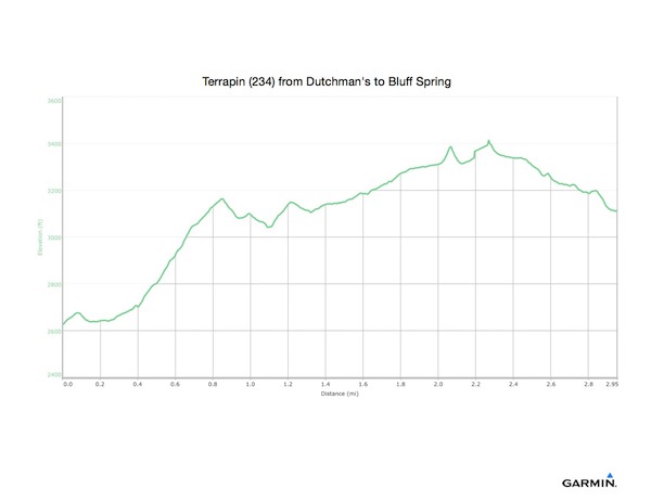
This part was 3 miles, 1096’ ascent, 604’ descent, 2:24 elapsed time.


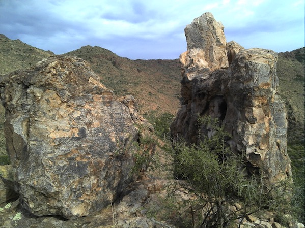
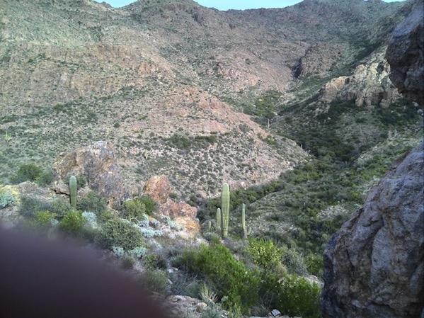
Even though I was now pressing for time, I couldn’t resist walking out between these two monoliths to look at the Needle Canyon below. Maybe someone would see me up here?
When I reached the Terrapin intersection, I got my maps and elevation graphs out. It was now 3:24 pm. I could figure on daylight until about 7. I knew I hadn’t been hiking 2 mph, but thought if I decided on a specific goal, I could try that number. Without dawdling or gawking or daydreaming. Paying attention, with focus. The map showed 3 + 2 (in my wishful thinking) = 5 miles, 2.5 hours. Some climb, but mostly descent. I could make it. It was then that I decided that I was heading for the car. My mouth was a little dry, indicating thirst, but it was not hot, it was still cloudy, and, I knew I could make it. Off (up) I went.
At some point, I followed a right turn that was marked with stones. I don’t know how I did it, but I got on a connector to Weaver’s Needle Crosscut. I was climbing the steepest I had yet, and glad I wasn’t descending. As it kept going up and up, I was reminded of another time I was climbing steeply, and was puzzled because I hadn’t seen a climb that steep in my planned route. That was leaving Duck Hole for the first time, on the wrong trail. So I got my GPS out of my shirt pocket, and lo and behold, I was hiking the wrong way, back towards the NW and the Peralta Trail, which I had formerly eschewed, when I needed to be going almost due South. Yes, I had taken a wrong turn, and now got to enjoy climbing / sliding back down to the correct trail.
Back down to the Terrapin Trail, then I climbed up over the Bluff Saddle. I knew a saddle here meant a way over a mountain without climbing to the summit, not a horse thing. When I reached that, it was a bit of a triumph. But, I had wasted 20 minutes or so, and it was not getting brighter. Not yet sunset, but, time to press.